Water Maps
Locate Streams and Rivers
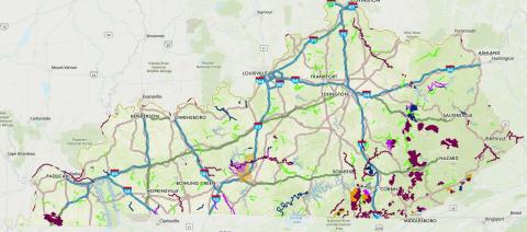
The Kentucky Division of Water assists foresters and loggers in locating streams and rivers in Kentucky that need special protection.
View Water Maps WebsiteWater Maps - How to Find Protected Streams
Water Maps is a website developed by the Kentucky Division of Water to assist foresters and loggers in locating streams and rivers in Kentucky that need special protection. Click here to visit the website.
Special streams and rivers are called Exceptional Use Waters and include:
- Wild Rivers: recreational rivers where logging must adhere to special provisions as far as the eye can see from the river up to 2000 feet away
- Cold Water Aquatic Habitat (CAH): commonly referred to as trout streams where special Streamside Management Zones are required
- Outstanding State Resource Waters (OSRW): high quality waters that are monitored periodically
- Outstanding State Resource Waters Threatened/Endangered Listed Species (OSRW T/E): streams and rivers containing federally listed threatened or endangered species
Note: some streams and rivers may be listed as both OSRW and CAH
